


By Kevin Duffy
Looking for a trail with a bit of variety, I looked to the local knowledge of my partner. I’ll ask her more often, ‘cos she steered us just right for a lovely 15k around Carlingford in Co. Louth.
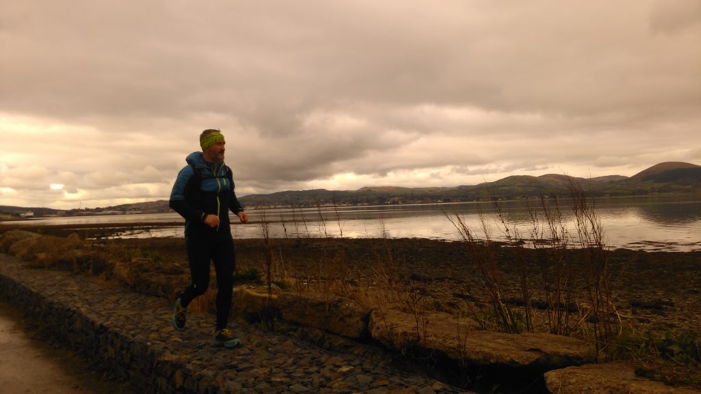
Parking in the town, we took a sea-level path heading about 7km east towards Omeath along the southern edge of Carlingford Lough. It’s a lovely surface to run on and a great warmup before you turn towards the hills.
We deliberately overshot the point at which we’d turn off the trail so as to make the most of our mileage, passing the now abandoned adventure centre and holiday village going out and coming back, then turning onto a very short stretch of the road that parallels the trail (at a nice enough distance not to be out of sight and earshot) which we crossed to pick up the Táin Way, a waymarked trail that we used to take us back to Carlingford.
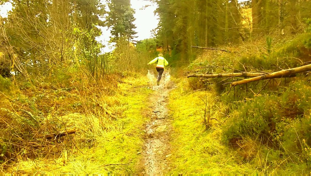
The waymarked section is great running; up the hills, across the fields, weaving through the Bracken and Gorse and rising through the woods before levelling off on a section of fire-road that takes you back to a viewpoint above the village and a short section of tarmac that takes you back to the car via some lovely coffee shops.
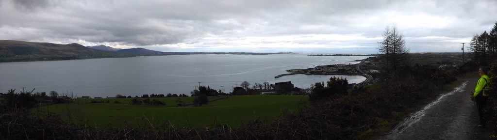
The whole route has alternative sections of very runnable trail with extensive views of the Cooley Mountains, Carlingford Lough and the Mourne Mountains across it. With a little map reading ability and the reliable waymarking, they’re easy to put together and give yourself a whole peninsula worth of trail and mountain running.
GPS Track:
Gmaps trail http://www.gmap-pedometer.com/?r=7043071
About the Author: Kevin Duffy and Edel Kieran are runners and mountaineers based in the northeast of Ireland. They are currently undertaking a year of running and climbing challenges to raise funds and awareness for Pieta House, a charity combating suicide and self-harm. You can find out more about their efforts at www.kevinandedel.com
Location:
[mappress mapid=”23″]