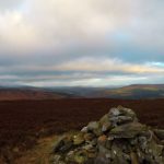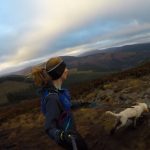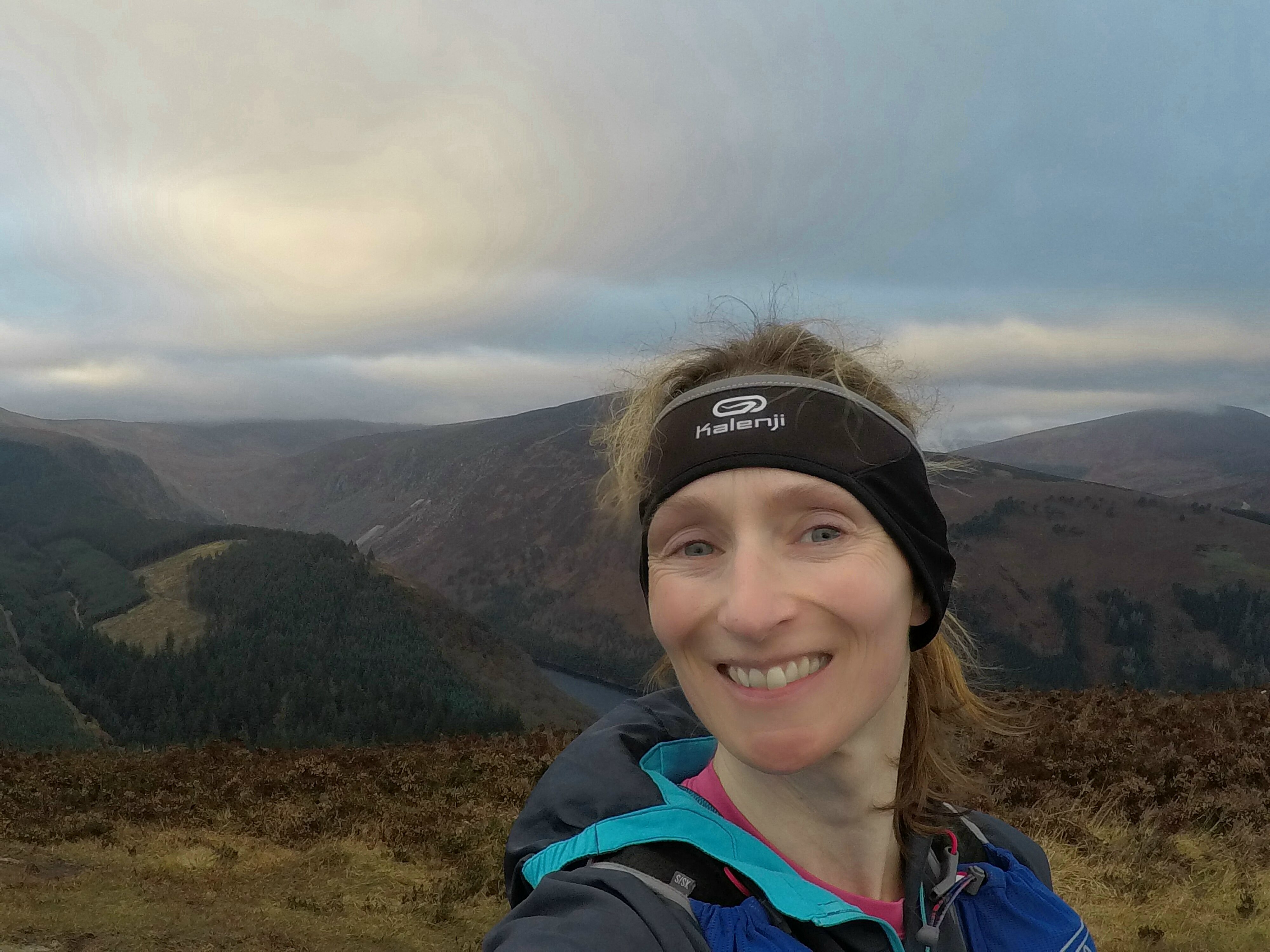
Behind me you can see The Spink, Camaderry and down into Glendalough’s Upper Lake
WARNING: This route is mainly on open mountain and forest tracks. The route is unmarked. Appropriate experience, skills and equipment are required. The route goes through Coillte, National Park and private farmlands. Access to the uplands is dependent upon respect, it is not a right of way. Care should be taken not to damage property. Please use gates & stiles where provided.
Starting from the Shay Elliot Memorial car park, the route follows the obvious track into the forest. Ignoring any turns, continue straight until you emerge from the forest at a T junction. Taking the gate, follow the small track to the first spot height and if you’re lucky, views of the Irish Sea. From there, head west towards Cullentragh (510m) staying right of the fence and using the stiles. Continue to the col (often extremely wet), picking up the track out towards the Derrybawn Ridge on your right hand side. Don’t forget to pause and appreciate the glimpses into Glendalough. From the summit cairn at Derrybawn (474m), descend via the bigger track on the left. This track soon splits again, continue on straight. You should see a ‘green road’ emerge in front of you which will bring you onto a larger forest track. When you reach this, turn right and continue around Derrybawn, leaving Glendalough behind. Turn left at the next T junction, which soon brings you to a bigger forest road, continue descending (stay right) at any forest junctions until you reach the road. Turn right and after a few hundred metres you will notice a farm gate on your right which gives access to the original military road built in an attempt to capture Michael Dwyer, United Irishmen leader during the 1798 Rebellion. Follow the old military road to the forest edge and turning right, follow the fence until you reach the gate once more, returning via original track to car park.
Distance & Climb
- Distance: around 12.5km
- Total ascent: 397m
- Maximum elevation: 510m
Start GPS
- GPS FOR START POINT: 52.968854,-6.318984
Maps & GPX files
[sgpx gpx=”/wp-content/uploads/gpx/Shay-Elliott-Route.gpx”]
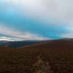
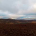
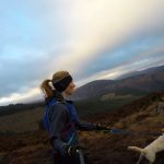
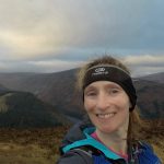
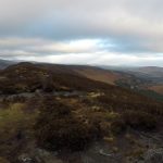
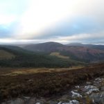
Photos