November 2021
Description:
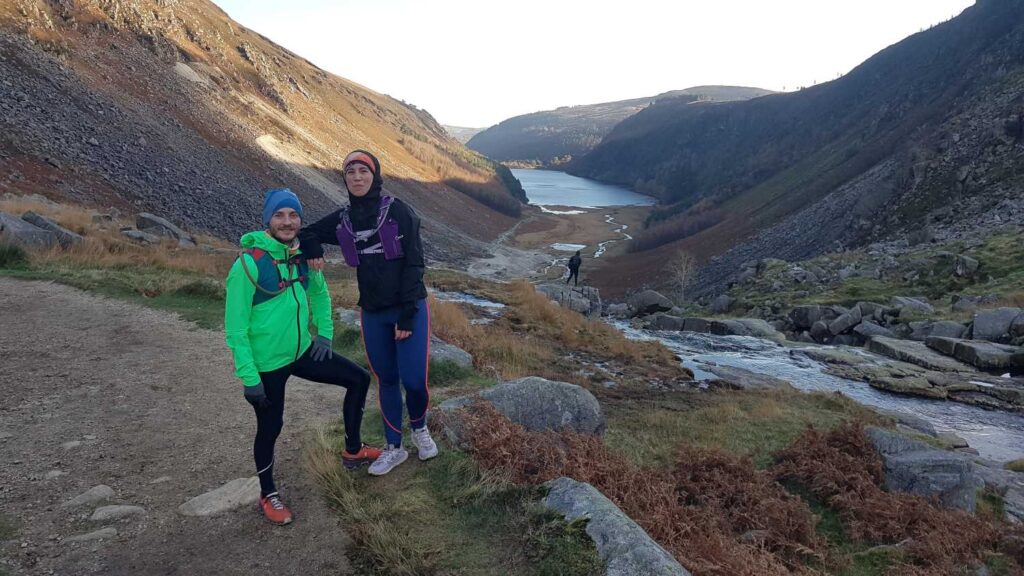
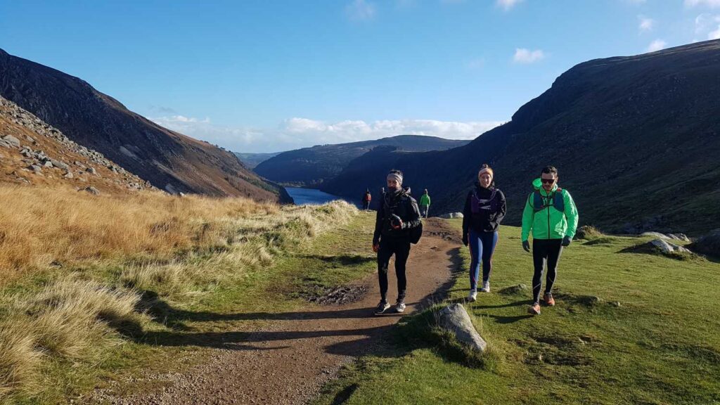
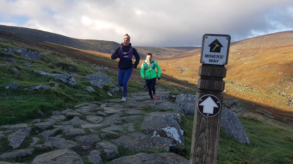
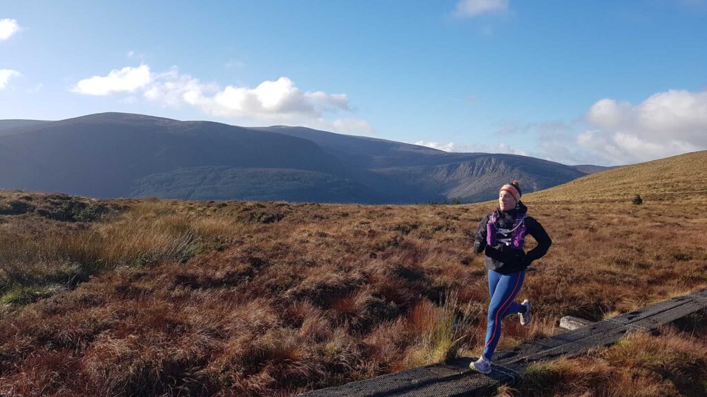
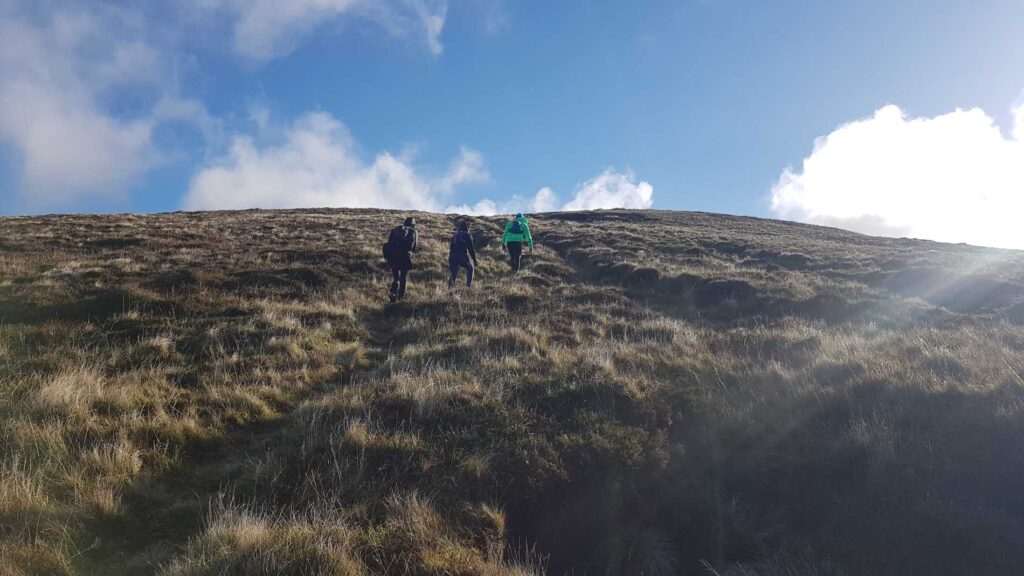
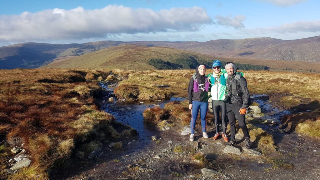
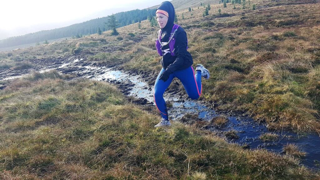
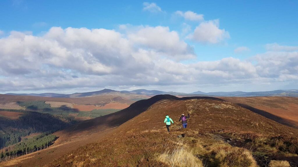
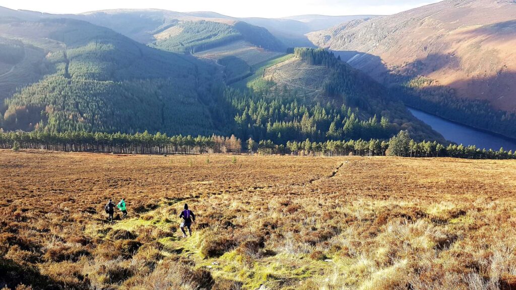
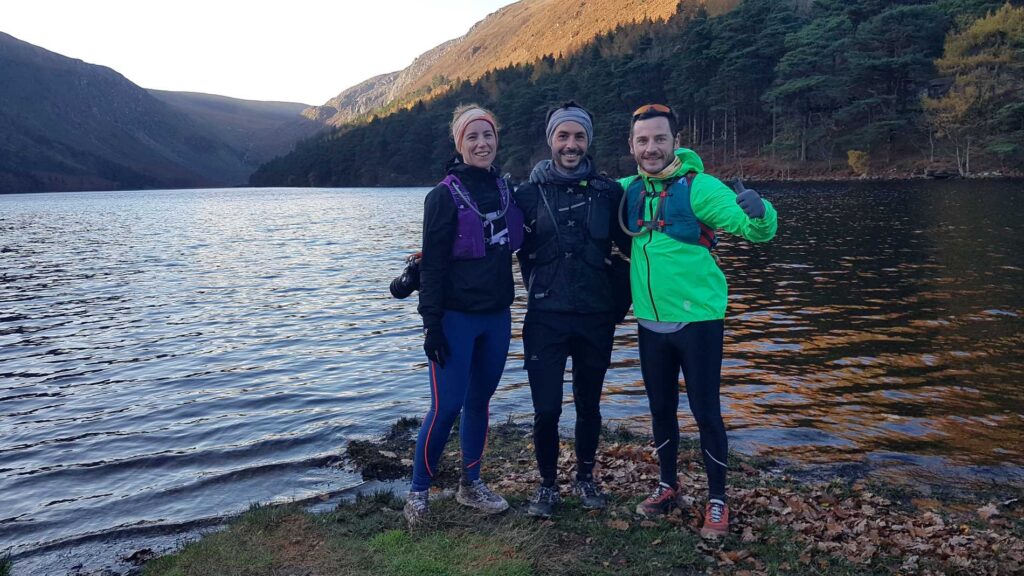
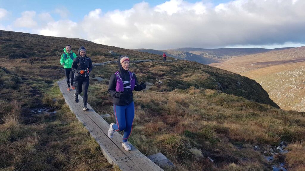
This route was part of a Press Trip organised by VisitWicklow and Tourism Ireland France where Nature Trail Mag had a couple of days in Wicklow. The route starts at Glendalough’s Upper Car Park and follow the lake towards the Miner’s Village. The trail then climbs to then cross the river and access the boardwalk along the Spinc route following the cliffs over the valley. We then turn right to follow the red route to reach the Wicklow Way. We then leave all trails to climb Mullacor, through the many bogs to descend to the Derrybawn Ridge and down back to Glendalough.
NOTE: parts of this route do not follow any trail and are very exposed to the elements! Taking on this route does require navigational skills, warm and weatherproof clothing and safety gear.
Route Data:
- Distance: 14.5 km
- Elevation: Ascent 692m
- Terrain: Trail, boardwalk, bogs (can be very wet and steep)
- GPS Start and Finish Point: 53.006821, -6.344947
Photos:
