


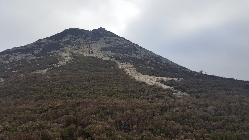
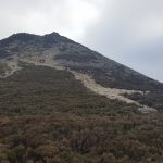
The Great Sugarloaf in Wicklow is an iconic landmark around the Dublin area. The Sugarloaf is visible all the way from Dublin Airport. This is tough and steep climb especially the last section that will have you go on all four to reach the summit and enjoy views!
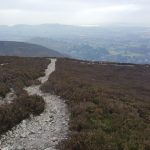
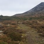
the recently opened Sugarloaf Way completes a fantastic loop around the Sugarloaf that can be started from either the upper car park, or the GAA pitch.
Public transport is also available from Bray DART station on the 45A bus into Kilmacanogue at the bottom of the Sugarloaf.
Distance & Climb
- Distance: from 7km
- Total ascent: 333m
- Maximum elevation: 447m
Start GPS
- GPS FOR START POINTS
- GAA Club: 53.163265, -6.141264
- Upper Car Park: 53.144414, -6.155147
GPS Track:
[sgpx gpx=”/wp-content/uploads/gpx/Sugarloaf Wicklow.gpx”]
GPX File:
Photos:


Map:
[mappress mapid=”22″]