


Welcome to Wicklow, THE HOME of Trail Running in Ireland. Wicklow has the largest moutain area, the largest forest area, the highest waterfall, the first long distance trail, the largest man-made reservoir and the highest mountain outside of Kerry.
Wicklow lies South of Dublin along the Irish Coast and is Ireland’s favourite terrain to enjoy outdoor activities: Walking, Cycling, Mountain Biking, Surfing, Kayaking, Stand Up Paddling, Sailing, Horse Back Riding, and of course Trail Running. The many trails through the Wicklow Mountains and along the Irish Coast, offer tremendous options for distance or terrain to suit all.
Below are some of the best locations to enjoy Trail Running aroun Wicklow. For where to sleep, eat and places to see and visit, go to http://visitwicklow.ie/
Glendalough
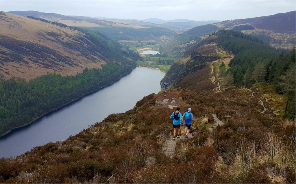
Glendalough is located at the heart of the Wicklow Mountains, at the bottom of a Glacier Valley. The sixth century monastery and the ‘valley of the two lakes’ (translation of Glendalough) is one of the most visited location in Ireland. Glendalough is also the centre of Wicklow’s National Park with many trails to choose from, all of them starting from the upper lake. The Spinc is a favourite offering amazing views over the Lakes and Valley. Glendalough is also the middle point of the Wicklow Way. Glendalough is services by public transport from Wicklow Town (4 daily runs weekdays, and 6 at weekends) or twice daily from Dublin and Bray.
See a list of the trails around Glendalough at: http://visitwicklow.ie/map-box/?category=1526
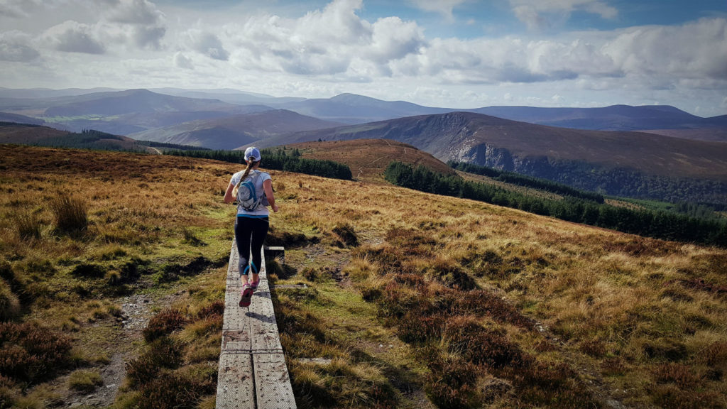
Djouce
Djouce mountain is one of the most accessible mountain top in Ireland. At 720 meters above sea level, Djouce summit offer 360 degrees views over the Wicklow Mountains and with the Irish Sea in the distance. There are three access points to Djouce: North at Crone Woods Car Park along the Wicklow Way, South at JB Malone Car Park overlooking Lough Tay (the Guinness Lake) or to the East at Djouce Woods . Crone Wood is probably the most popular starting point offering great views over Powerscourt Waterfall. From Crone you can reach Maulin Mountain, a shorter but rewarding climb off the Wicklow Way.
Bray – Sugarloafs
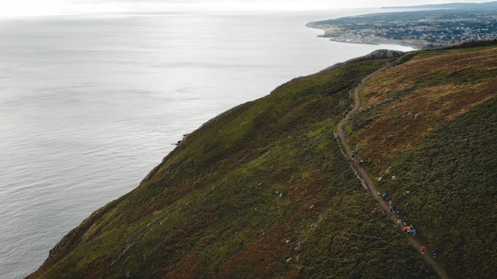
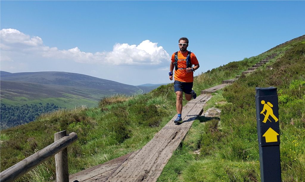
South of Dublin City Centre and easily accessible by public transport, Bray Head offers great trail running options. The 7km Cliff Walk is one of Ireland’s most popular trail with many returning to Bray by DART from Greystones. Climb to Bray Head is also a must, and there is a great loop option inviting runners to reach the cross at the top of the hill, follow the ridge then loop back down along the Cliff Walk (around 7k as well). in August 2019, the new Belmont Way is now connecting Bray Head with the little Sugarloaf, itself connecting with the Sugarloaf Way though Kilmacanogue. This new trail offers tremendous long distance trail running options up to 30k round trip to Bray. A shorter option would be to use public transport to or from Kilmacanogue. This new route is part of EcoTrail Wicklow, Ireland’s largest trail running race, held the last Saturday of September.
The Wicklow Way
The Wicklow Way is the oldest and the most scenic long distance linear walk in Ireland. The Wicklow Way is around 130km long from Marley Park in South Dublin, across the Wicklow Mountains to the village of Clonegal in Co. Carlow. The Wicklow Way is usually split in seven stages and is an ideal multi-day trail running experience. Note that the two stages after Tinahely are all on country roads. Glendalough is an ideal starting point with option to go North to Dublin or Bray, or South to Tinahely (both distances around 50km). Check full info on the Wickow Way at http://visitwicklow.ie/the-wicklow-way/
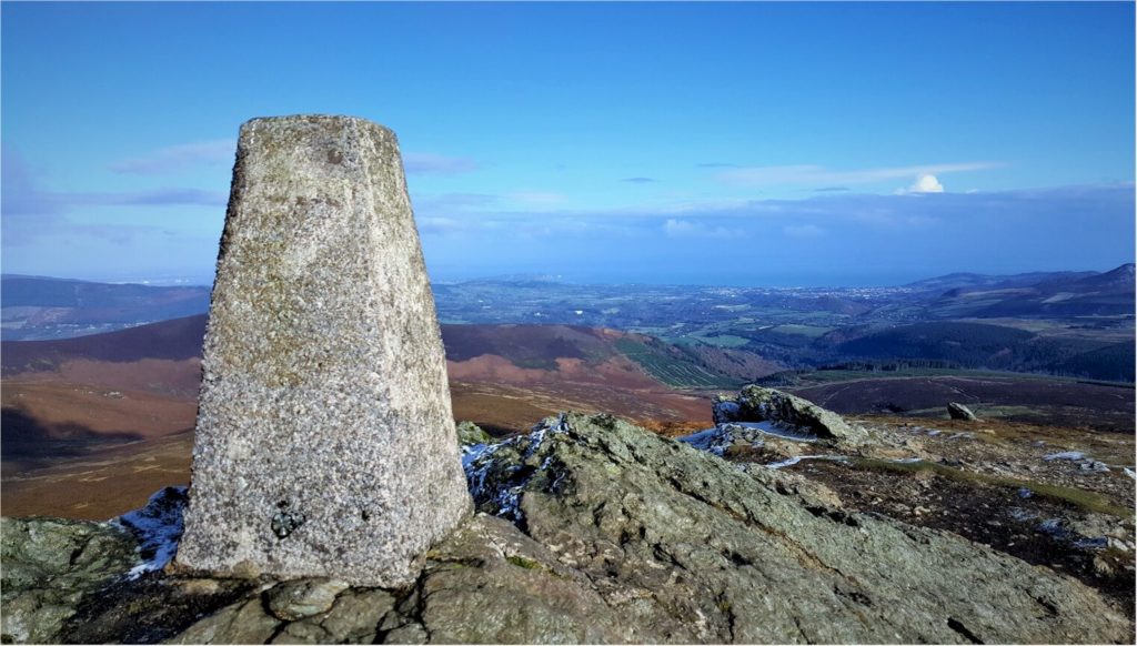
Lugnaquilla
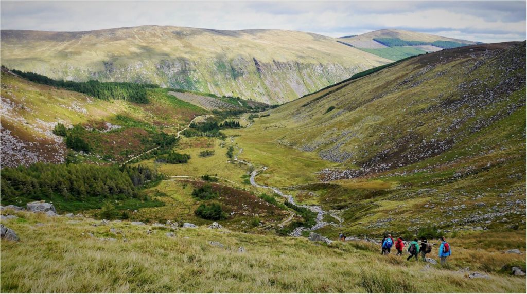
Lugnaquilla is the highest mountain in Ireland outside of Kerry with its summit at 925 above sea level. Lugnaquilla mountain can be accessed from either Glenmalure Valley or the Glen of Imaal in West Wicklow. NOTE that Lugnaquilla has no marked trails, and the summit plateau makes it very difficult to navigate in poor weather and is a regular cause of walkers getting.. The plateau is also guarded by two areas of cliffs to the North and South. Do plan your trip and wear proper gear for changing weather. Further info can be found at https://visitwicklow.ie/item/lugnaquilla-mountain-trail/
Tinahely
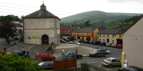
The Tinahely/Shillelagh area offers a great network of loop trails overlooking the rolling hills of South County Wicklow. The picturesque village of Tinahely offer many amenities and a few places to eat and sleep. Choose from 5k to 25km up country hills or ancient woodlands. Tinahely is also a great starting/finishing point for the Wicklow Way. More info on Tinahely trails can be found here: http://visitwicklow.ie/map-box/?category=1542