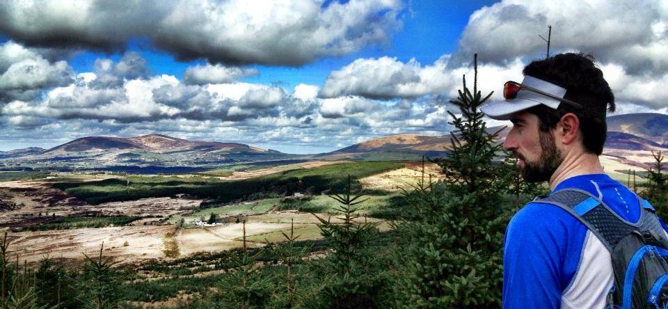
The Wicklow Way is the longest marked trail in Ireland. The Wicklow Way offers a unique journey through Ireland’s most scenic landscape, from the Early Christian Monastery of Glendalough through one of Europe’s most vibrant capital: Dublin!
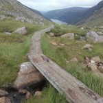
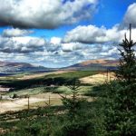
The Wicklow Way is a 129km linear trail and is one of Ireland most scenic trail crossing the Wicklow Mountains with stunning views over the Irish Sea, Wicklow Mountains, lakes, villages, rolling hills and more.
The Wicklow Way can be done in various stages. It is traditionnally divided in 7 stages. Find info on the various stages with downloadable maps on Wicklow Tourism’s website: click here
Distance & Climb:
- Distance: 130km
- Total ascent: 3960m
- Maximum elevation 625m
Start/Finish/Stages GPS:
- Marley Park: 53.277392, -6.268574
- Crone Woods: 53.165057, -6.217941
- Glendalough: 53.010466, -6.323958
- Glenmalure: 52.957592, -6.353870
- Tinahelly: 52.799514, -6.463917
- Clonegal: 52.695402, -6.648299
Map & GPX file
[sgpx gpx=”/wp-content/uploads/gpx/Wickow Way.gpx”]
More Info:
- for more info, go to Wicklow Tourism’s website: http://visitwicklow.ie/the-wicklow-way/
Public transport is available to and from Marley Park (Dublin Bus), Enniskerry (Dublin Bus), Roundwood & Glendalough (St Kevin’s Bus).
Package:
Run the Wicklow Way: 3 days from the Wicklow Mountains to Dublin!
Photos
-
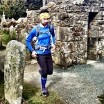
- Soul Running in Glendalough
-
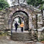
- Soul Running in Glendalough
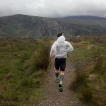
-
- Glendalough
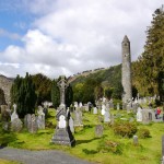
-
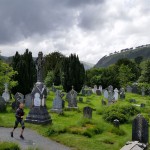
- Glendalough Monastic Site