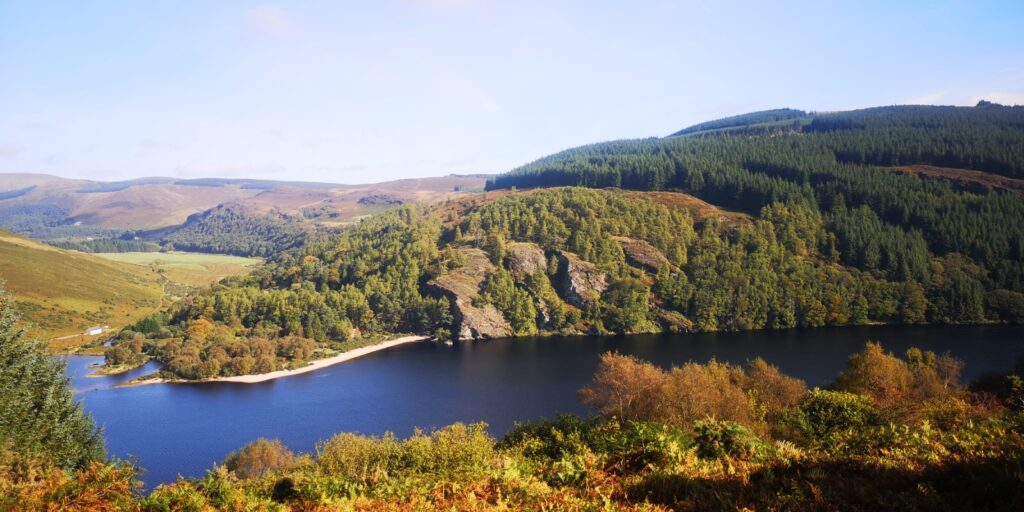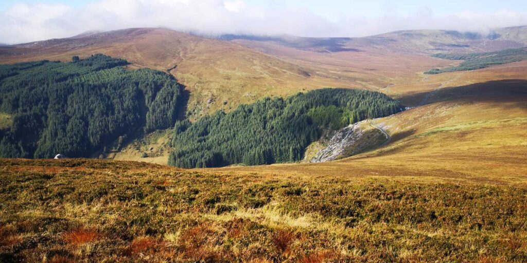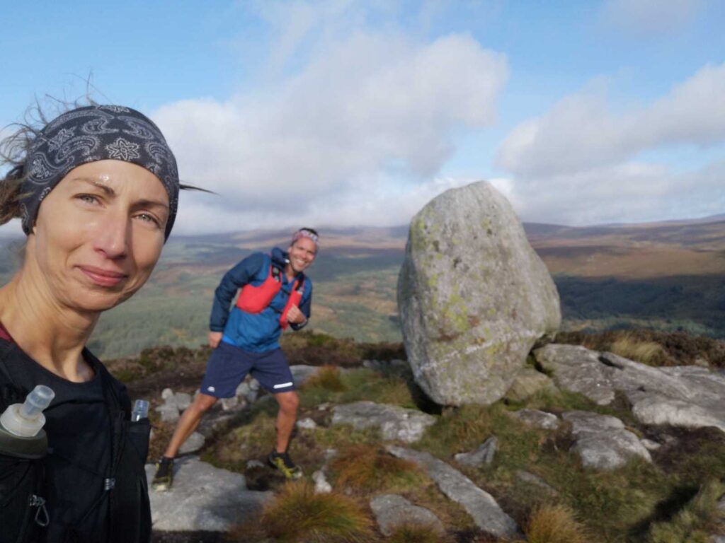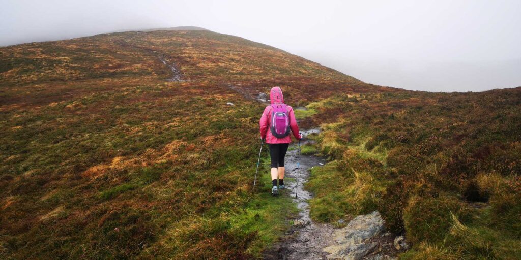
A beautiful route with wet and muddy terrain & steep ascent and descent. Starting from The Lough Dan Scout Centre, park across the road and access the trail that is sign posted for Scarr Mountain. There are some stunning views on this route over Lough Dan & Glenmacnass Waterfall and the Wicklow Gap. Some good grip trail running shoes would be advisable as there is plenty of mud – be prepared for some jumping!! There is a track to follow but it can be easy to veer off it if you don’t keep an eye on where you are going. This is one of my favourite routes in any season as it always has something new to offer. It won’t disappoint!
Route Data
- Distance: 9.5km
- Elevation: Ascent 430m
- Terrain: Mountain, boggy, wet, steep
- GPS Start and Finish Point: 53.060506, -6.277070
Route map for Scarr Kanturk Lough Dan Route by Nicola Cleary on plotaroute.com