October 29th 2019 by Fred Verdier
Route Info:
Distance: 16.4km
Total Climb: 1,252m
Maximum Elevation: 840m
GPS Start: 54.206064, -5.894256
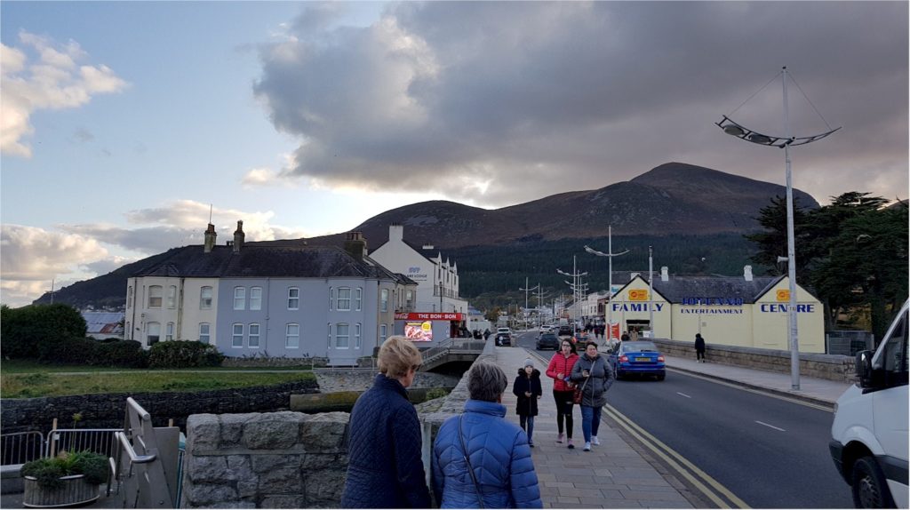
We started from Newcastle, Co. Down, and made our way up to Slieve Donard, the highest mountain in Northern Ireland (850 metres or 2,790 ft)
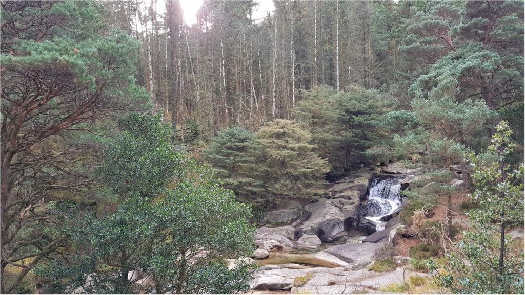
We left at 7am from Dublin and it took roughly two and a half hours to get to Newcastle with a breakfast stop along the motorway. We parked at Donard Car Park, at the very start of the walk.
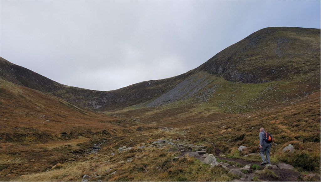
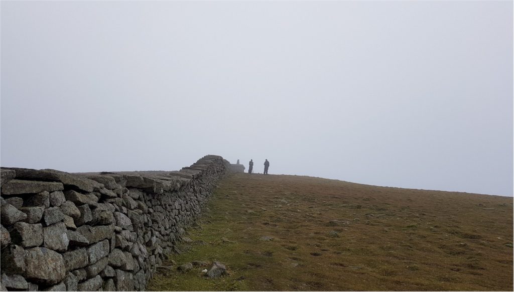
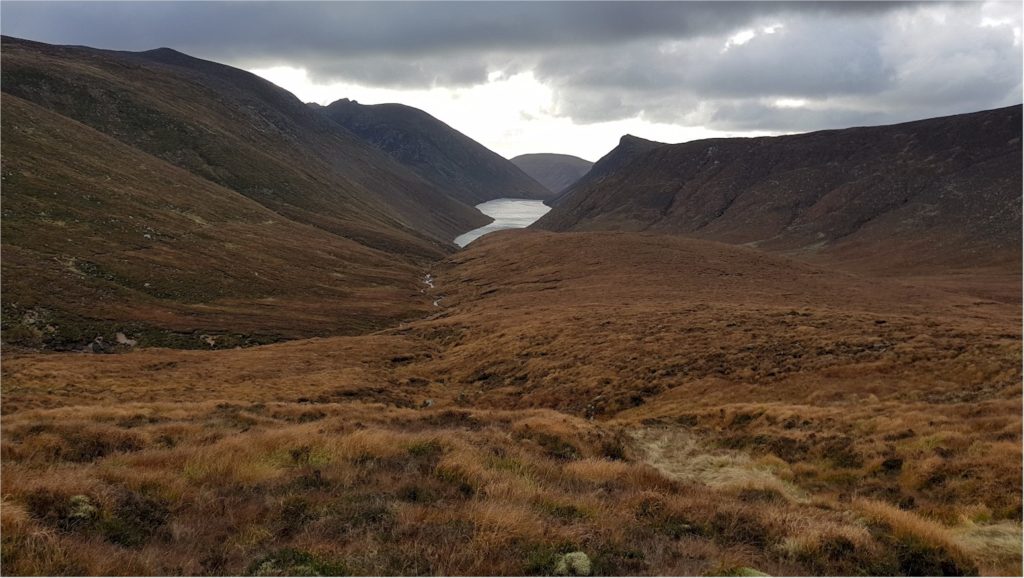
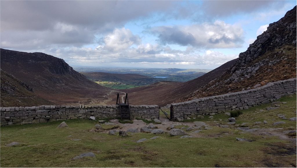
We followed the Glen River all the way to The Saddle and the Mourne Wall then followed the wall for a steep climb to the summit of Slieve Donard. The Mourne Wall (Irish: Balla an Mhúrn) was constructed between 1904 and 1922 by the Belfast City and District Water Commissioners to enclose a reservoir. The main purpose of the Mourne Wall to isolate the catchment area from cattle and sheep.
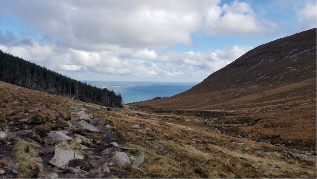
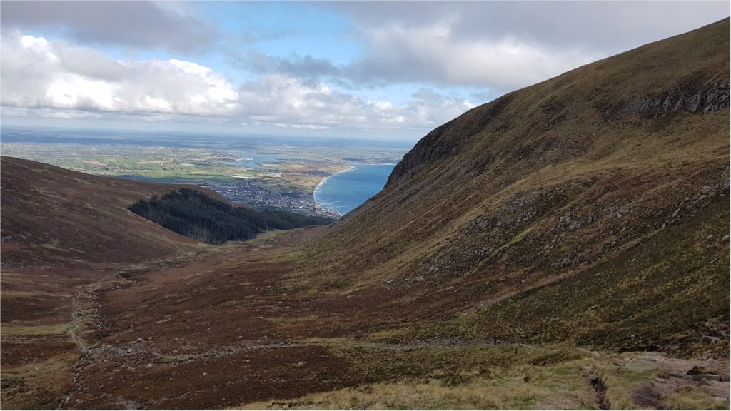
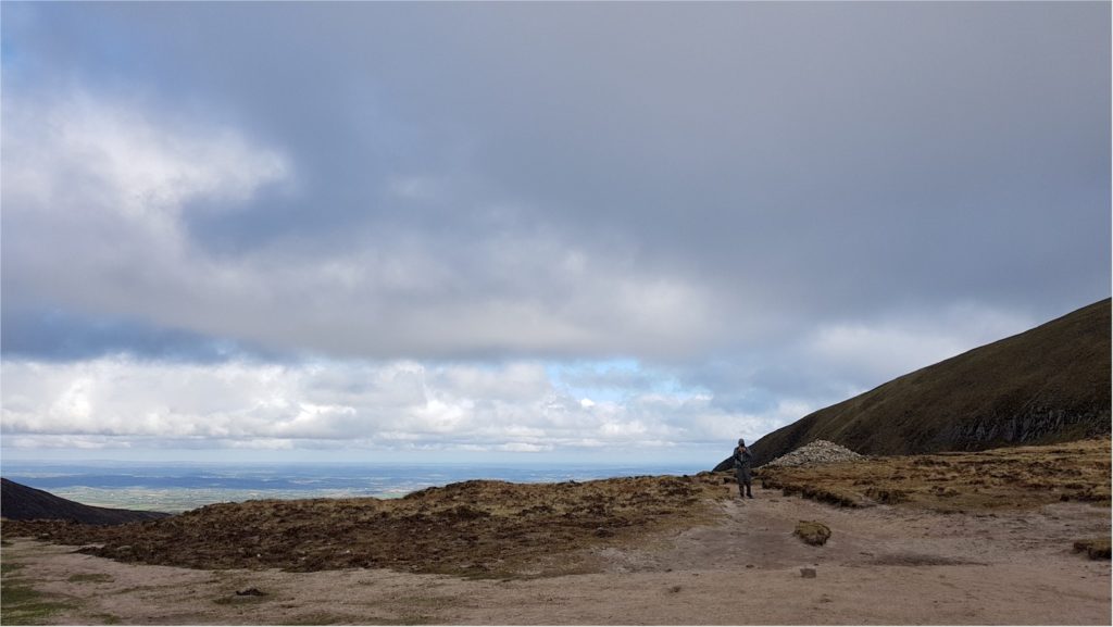
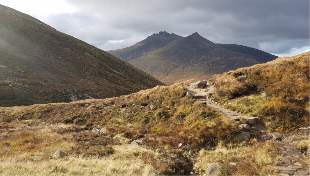
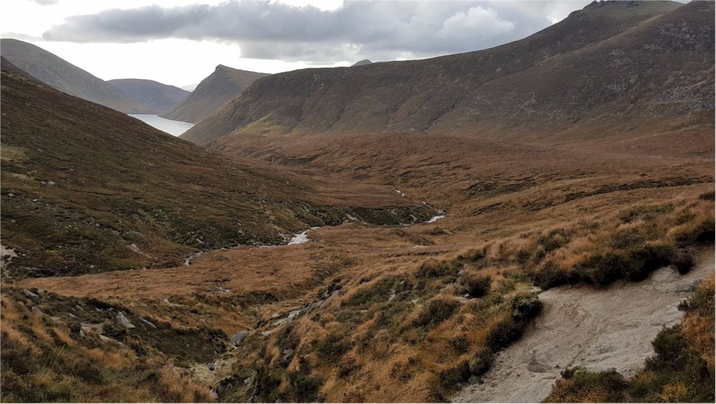
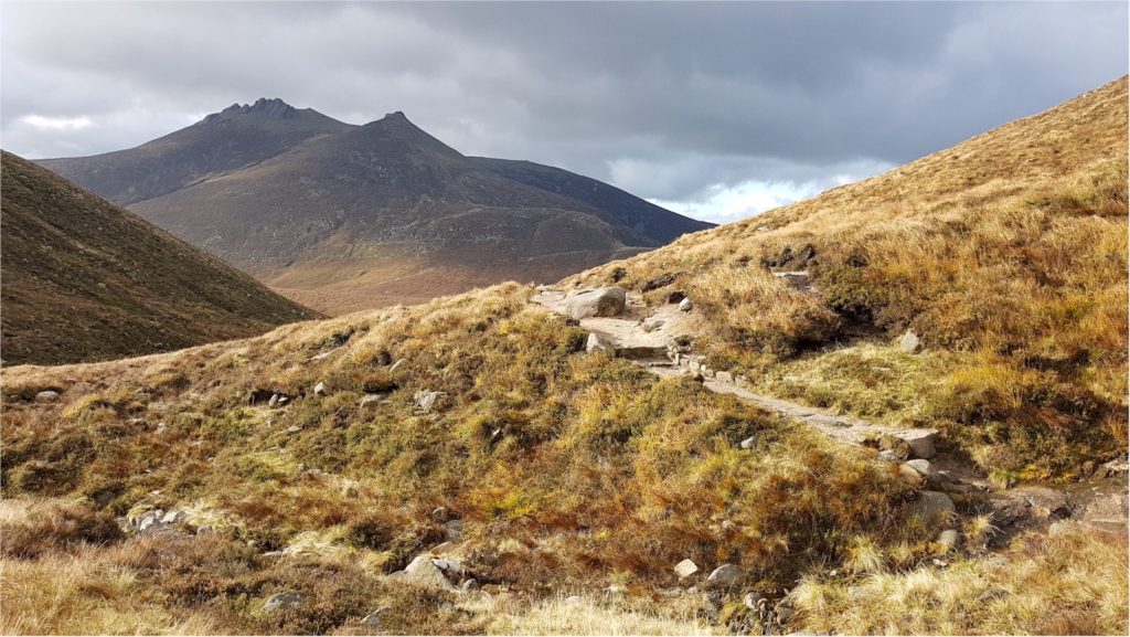
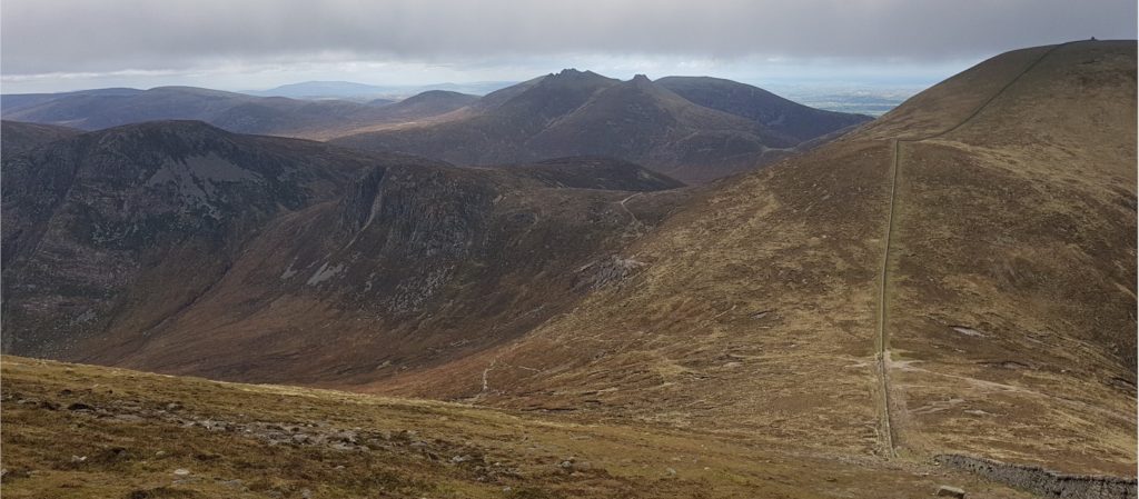
We made our way to Hare’s Gap following a lovely trail with stunning views over the Mourne Mountains all the way to the Irish Sea. At Hare’s Gap, there is an option to follow the wall back to The Saddle and climb Slievenaglogh Mountain, Slieve Corragh and Slieve Commedagh. The route below includes those summits.